
The Newcastle Metro guide — every line, every stop, every house price
The Tyne and Wear Metro carries around 30 million journeys a year on two lines — Green from the Airport through Newcastle to Sunderland, Yellow from St James to South Shields via the coast. This guide maps both, with the average house price at every stop, because where the track goes, value follows.
The map nobody else made
House prices, stop by stop
Indicative average sold prices for the neighbourhoods around each station, June 2026. Tap any station — stations with a full Hub area guide link straight through.
Monument
City centre
£210k
Indicative avg price
Which Metro stations have the cheapest houses?
Metro questions, answered
How does the Tyne and Wear Metro work?
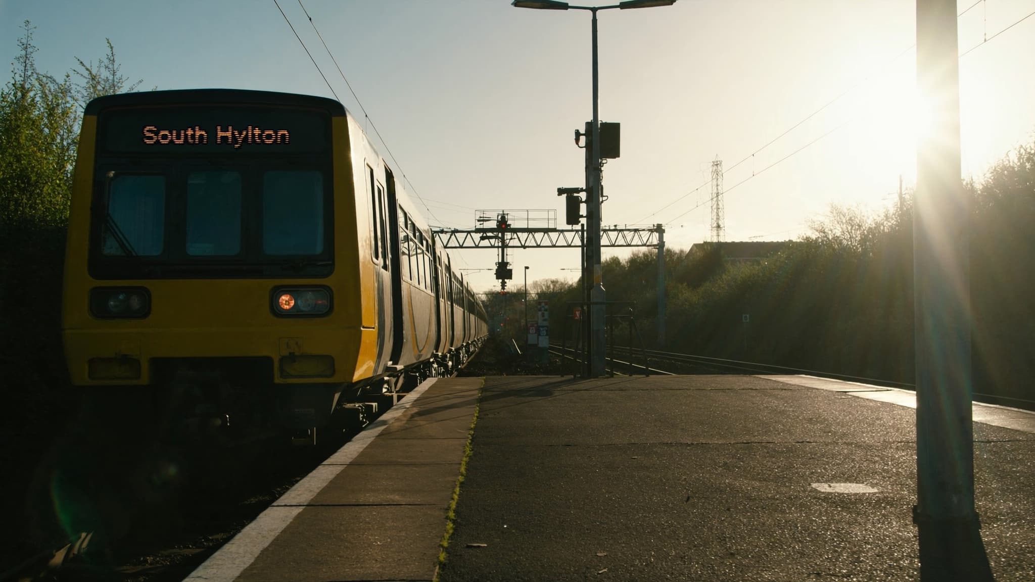
Two lines, one system: the Green line runs Newcastle Airport through the city to Sunderland and South Hylton; the Yellow line links St James to South Shields, looping out to the coast at Tynemouth and Whitley Bay. Trains run every 10–12 minutes daytime, singles cost a few pounds and a Pop card or day ticket makes hopping cheap.
Which Metro stations have the cheapest houses?
On indicative June 2026 figures: Walker's edge at Walkergate and Byker average £125,000–£135,000, Felling £120,000, Meadow Well-adjacent stops and Wallsend £140,000 — all under 15 minutes from Monument. That's the Metro's quiet superpower: city-commute living at half the city's average price.
Is it worth living on the Metro line?
For most Newcastle buyers, yes — Metro-walkable homes rent faster, sell faster and hold value better, particularly along the Gosforth–Jesmond spine and the coast loop. The premium for being within ten minutes' walk of a station is real but rarely extreme; pick the right stop and the commute pays for itself.
Prices are indicative neighbourhood averages, June 2026. Fares and timetables: nexus.org.uk.